Sunday, 5 February 2017

A Cross Pennine Raid for More Nuttalls

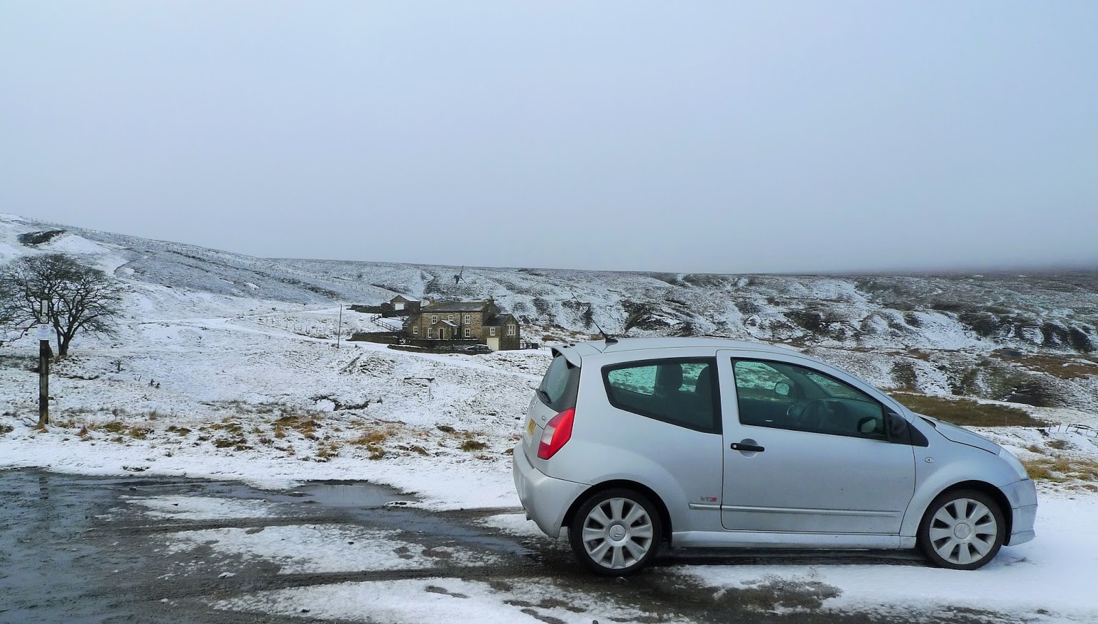
Back over Hartside again this morning, then North down South Tynedale to Slaggyford. I was able to park just outside the village near Langdyke Head. Then it was off into the hills along what seemed an almost endless track.

Just me and my shadow! out today, here looking North along South Tynedale

The long and straight track, it almost felt like Spring.

From the end of the track I struck up onto the broad ridge of Thornhope Fell.

It was easy going on a quad track as far as here, looking back the views were great.

This looked like a relatively new cairn, but did mark an excellent viewpoint.

The summit of Grey Nag, the trig is built on top of an ancient cairn (looks old anyway!)
No Nags of any colour were seen!!

There is also a substantial sheepfold, this would make an excellent place for a summit camp in wild weather.

This is the "summit" of Tom Smiths Stone, now I don't know who Tom Smith was...but there's no stone here...not even a pebble from what I could see.
The hill in the background is Grey Nag.
It was very wet underfoot though, it was time to retrace my steps back to the car....
Back over Grey Nag...still no Nags!
I stopped for my lunch behind the wall/cairn for shelter.

Although no Nags (Grey or otherwise) were encountered, I don't think I've ever seen so many Grouse. This means either the "guns" around here are crap shots or possibly all the predators heave been eliminated....I hope its the former rather than the latter :-(

I was back at the car for 1.30 so had plenty of time to drive to near Tyne Head South of Garrigill, with a chance to climb Round Hill.
The derelict farmstead of Dorthgill is in the foreground...a shame.

I followed the South Tyne Trail up Tyne Head before leaving the well maintained road to ascend the fellside above Calvertfold following some old lead workings including this hush/openwork.

Beyond the old mines I followed the fence up to the summit of Round Hill. There was a grand view here today, the distant sheet of water in Cow Green Reservoir.

The wall which runs over Round Hill had caught the snow from yesterday evening.
I descended by the same fence, but followed it all the way back to the Tyne Head road.

Just above the road is Calvert Lead Mine, the old mine shop is in a sad state and the adit to the right of it is in a collapsed state...won't be long before there'll be little to see here.
Having said all that have a look here this picture was taken 8 years ago! Not that different! 

Hard to believe it but this tumbling steam is the infant River Tyne or at least half of it.
Another great day, I'm really enjoying being back in the Pennines.


Sunday, 29 January 2017

Nabbing Nuttalls in the North Pennines

I almost didn't come over to the Pennines today, the reports said Hartside Pass was barely passable last night which was key for access to todays hills. I set off with a plan B, but could see as I approached Penrith on the M6 that the road wouldn't be so bad. There was a bit on the road both sides of the pass....just adds to the fun!
Over into Tynedale and Alston, then through Nenthead and over to the isolated settlement of Coalcleugh where I parked for the first hill.

The cloud was down as I parked at Coalcleugh...perhaps Coldcleugh today! The first hill would be The Dodd, this was the easiest way up todayI thought. I knew there was a fairly obvious bridleway up to the broad ridge.

Sure enough it was actually made clearer with the scattering of snow. The gate is just coming into view. Last time I was hereabouts I was on the mountain bike in summer 2015. A report of that day can be found here  looks a bit different!

I followed the wall Northwards eventually arriving on the edge of the summit plateau, and coming across this unusual ruinous structure...probably something to do with the mines?

The plateau was this kind on going....slow!

The summit of The Dodd is unmarked as far as I could tell. These coordinates are correct and there was nowt to be seen.

Of course as is the way with these things, the top cleared once I was almost back.

A short drive onto Carrsheild Moor and time to set off up Killhope Law.

This is a new track, made for access to a row of Grouse butts. A mixed blessing I suppose?
It did make the ascent very easy, and the view back down West Allendale were excellent.

However once on the ridge I was in the cloud again with an odd flake of snow. The map shows an aerial on the summit of Killhope Law. I guess the snapped post on the left is all thats left of it?

A short distance to the East is this grand cairn....visited for completeness.

Back to the car the same way, over to the West The Dodd was still clear of cloud.

I drove down into east Allendale passing through Allenheads, visiting Northumberland briefly. Leaving the car on Allendale Common I headed off East towards Middlehope Moor.

The top of Middlehope Moor has a small cairn, I was pleased that the ground was frozen hard across here it would be very wet underfoot otherwise.
A good day, not a single person seen on the hill.


Sunday, 22 January 2017

A Short Stroll to Malham Cove

We just managed to get parked near Water Sinks near Malham Tarn. Most folk headed North towards the tarn, but we ambled off in a broadly Southerly direction towards Malham.

The limestone would normally mean dry conditions underfoot....

Malham Cove from the Eastern Rim. Hard to see probably on this photo but there were folk everywhere!

We soon left the crowds behind on the rim, heading back up the dry valley under Ing Scar.

Under Comb Hill we passed the dry waterfall I remember climbing as a little lad on a family visit here almost 50 years ago.

Water Sinks, where the stream from Malham Tarn disappears underground. This water won't be seen again until it re-emerges at Aire Head rising.
Just a short walk, but as always on limestone lots of interest.

Thursday, 19 January 2017

Little Fell, A Pennine Nuttall

Out with Bill today, the first time for a long while. I might struggle to get him out for a while again after today mind! We parked near Aisgill Moor Cottages and headed East on the bridleway/footpath towards Hell Gill.

Hell Gill Beck, soon to be the River Eden
Heading up the long shallow slope towards the broad ridge of Lunds there's quite a bit of this!

Bill on the "summit" of Little Fell, it was a shame we didn't get the view to the East towards Great Shunner Fell. There's not much of a cairn....but then thre aren't many stones here either! 

We dropped down into upper Hell Gill and followed the beck back towards Hell Gill itself.
This sheepfold one of two we saw is falling into ruin sadly.

Here almost back at "The Highway" the stream tumbles down into the narrow limestone gorge of Hell Gill proper.

This plaque is adjacent to the old bridge over Hell Gill. It depicts Dick Turpin and no doubt Black Bess I believe, who is said to have roamed hereabouts.

Almost back at the car and a short diversion to see Hell Gill Force.
It needs more water in it to look it's best
Another Nuttall ticked off..I'll soon be in single figures:-)


Thursday, 5 January 2017

A Ramble From Dockray

A wander today over some bumps to the West of Dockray, very cold in the brisk wind. The bonus being that the heavy frost had frozen the normally soggy terrain! Steep and tussocky enough for P's poorly knees....

A birds eye view of the head of Ullswater from the slopes of Common Fell.

Erratic just below the summit of Common Fell.

North..ish from Common Fell, Blencathra beyond Dowthwaite Head.
Another quiet area little visited by the Wainwright pilgrims!

Monday, 2 January 2017

Meldon Hill Via High Cup

Today it was time to tick Meldon Hill off. This is an English Nuttall (2000'er), I've been chipping away at these for over 20 years in a desultory fashion! This year should see the end of them, with any luck!
I can only conclude from today's walk that not many people have completed the Nuttalls....paths were non-existent from what I could see once beyond Maize Beck.
If ever anyone says you're going to be "cast out" this is probably where you'll end up! On with the photos.....

Climbing up the Pennine Way out of Dufton below Peeping Hill, Dufton Pike in the background.

Approaching Narrowgate, High Cup starts to be seen at its best.
Meldon Hill is in the distant distance!

I took the old "flood path" to Maize Beck

The footbridge is still here, I wasn't sure it would be with the new bridge further down Maize Beck making it redundant to a large degree.
Meldon Hill still looked a long way off, and I knew from here the going would be pathless.

Just me and my shadow out today...the terrain hereabouts is best described as "bloody rough", and that's being polite!

High Cup looks along way back from here. Normally as you gain height the going gets easier..not here.

Eventually of course if you stick at it, you reach the top. This is the view to the Northwest, Great Dun Fell, Little Dun Fell and Cross Fell.

The summit? has the remains of a Trig Point, its been demolished. The OS probably didn't ever want to come back here!

I pretty much reversed my outward route, stopping to take some photos of High Cup with the afternoon sun on it.A great day, but tough under the conditions. I was reduced to less than 1mph at one point. 


Tuesday, 27 December 2016

The Naddle Horseshoe

I've done this before ....it was probably 30 years ago or more. It was probably one of those walks when you get back you think to yourself..."I won't ever need to do that again"! This is a walk for lovers of Elephant Grass and Bog, but it is quiet and the absence of paths is a pleasant change for the Lakes.

I parked the car at the foot of the Naddle valley and headed East onto the South ridge. There was a glimpse of Haweswater in the distance.

Contrary to what I've said above there is a track almost to the summit of Harper Hills.
I had a spot of lunch here, and studied the way onwards...I couldn't remember what I did last time!

Powley Hills....Rough! Next top Hare Shaw in the distance.

There are several areas of planting on here, Holly and Juniper from what I could see. 

The view West from Hare Shaw High Street and Kidsty Pike prominent.

Good to get to this gate which never seemed to get any closer for a long while. High Naddle Forest (the next top...not marked on the map!) is to the right of this image.

The top of High Naddle Forest...the size of the cairn gives a clue to the amount of visitors.

Wallow Crag...how come its got such a fine cairn?
Here we look East.

This is the fine old cairn on Hugh Laithes Pike, an excellent viewpoint. The hanging valley containing Measand Beck is to the right of the cairn.
From here it was a treacherous descent through the trees which was slippy beyond belief back to the car. Not a single person seen,