I almost didn't come over to the Pennines today, the reports said Hartside Pass was barely passable last night which was key for access to todays hills. I set off with a plan B, but could see as I approached Penrith on the M6 that the road wouldn't be so bad. There was a bit on the road both sides of the pass....just adds to the fun!
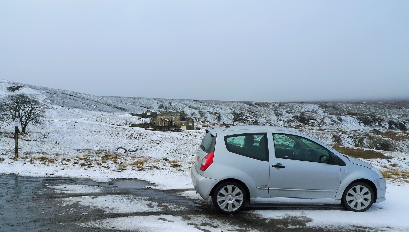
Over into Tynedale and Alston, then through Nenthead and over to the isolated settlement of Coalcleugh where I parked for the first hill.
 |
| The cloud was down as I parked at Coalcleugh...perhaps Coldcleugh today! The first hill would be The Dodd, this was the easiest way up todayI thought. I knew there was a fairly obvious bridleway up to the broad ridge. |
 |
| Sure enough it was actually made clearer with the scattering of snow. The gate is just coming into view. Last time I was hereabouts I was on the mountain bike in summer 2015. A report of that day can be found here looks a bit different! |
 |
| I followed the wall Northwards eventually arriving on the edge of the summit plateau, and coming across this unusual ruinous structure...probably something to do with the mines? |
 |
| The plateau was this kind on going....slow! |
 |
| The summit of The Dodd is unmarked as far as I could tell. These coordinates are correct and there was nowt to be seen. |
 |
| Of course as is the way with these things, the top cleared once I was almost back. |
 |
| A short drive onto Carrsheild Moor and time to set off up Killhope Law. |
 |
This is a new track, made for access to a row of Grouse butts. A mixed blessing I suppose?
It did make the ascent very easy, and the view back down West Allendale were excellent. |
 |
| However once on the ridge I was in the cloud again with an odd flake of snow. The map shows an aerial on the summit of Killhope Law. I guess the snapped post on the left is all thats left of it? |
 |
| A short distance to the East is this grand cairn....visited for completeness. |
 |
| Back to the car the same way, over to the West The Dodd was still clear of cloud. |
 |
| I drove down into east Allendale passing through Allenheads, visiting Northumberland briefly. Leaving the car on Allendale Common I headed off East towards Middlehope Moor. |
 |
The top of Middlehope Moor has a small cairn, I was pleased that the ground was frozen hard across here it would be very wet underfoot otherwise.
A good day, not a single person seen on the hill. |


OS got it wrong about the mast on Killhope Law. There's no mast and vever has been - but there is a Very Big Stick. Its been there a very long time and lines up really nicely with a straight bit of parish boundary on hills to the North-West. I suspect that that is what it's for. The cairn is the site of a Napoleonic beacon, apparently.
ReplyDeleteThanks for that info Mike. The "big stick" has been snapped as in the pic. I was impressed with the cairn mind!
Delete