Friday, 28 October 2016

Last of the Summer Wine Ride.....

This was the first time Tim, Ian and I had met up for almost 15 years. Time we acted our ages rather than our shoe sizes!! A road, easy trail/bridleway was planned and  having met in Bowness we rode down to the ferry and crossed to the West side of Windermere....

The island of Crow Holme as the ferry reached the west side of Windermere

Heading up the side of the lake, the islands of "Lilies of the Valley" covered in Autumnal trees

Top of the first climb under Claife Heights....time for a breather

Having ridden past Blelham Tarn, and through Hawkshead. We climbed the bridleway past Walker Ground, and had a buttie stop just before we entered Grizedale Forest.

Leaving the forest, the new multi-use trail down to Monk Coniston gave us a great descent.

Gratuitous photo of my 29er in front of a log pile!

A bit of tarmac through Low Tilbirthwaite and Holme Ground and the beautiful colours of Hodge Close were revealed.

Another multiuse trail led us back to Wray Castle.

Followed by a return along the edge of Windermere, then back across the ferry to the cars in Bowness.
A great ride, good to be out with Tim and Ian on the bikes in such great weather :-))
A strava track can be found here for anyone who may want to see just exctly were we went!

Wednesday, 26 October 2016

Backpacking The Ettrick Hills

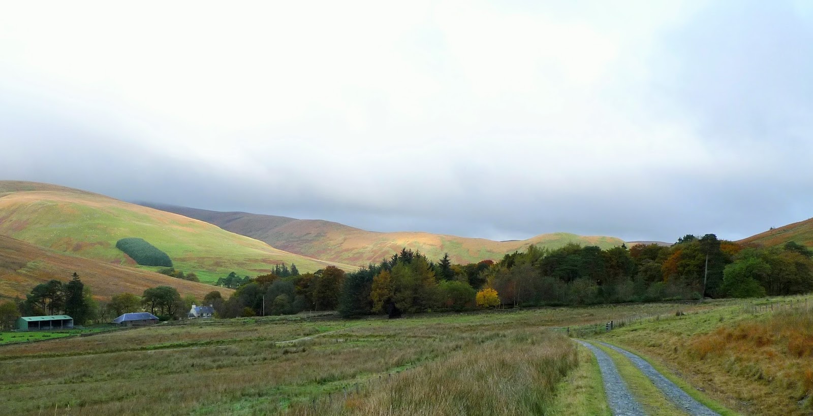
This was a walk which had been on @ianwood2011 and my radar for quite a while. The weather window was Mon/Tues of this week, and after an easy drive up through the Eskdalemuir Forest we parked beside the Ettrick Water near Crook Cottage.

Last minute checks to make sure we haven't forgotten anything!

Glad to leave the tarmac and start to gain some height on the South side of the valley.

The fist summit of the day as we head Southwest...ish was Ettrick Pen, a Donald, Marilyn and Graham.

It had been dull and overcast since we'd left the car, but as we descended Ettrick Pen the sun was trying to break through. 

Ian on the Donald Hopetoun Craig, with Ettrick Pen receding into the distance.

Last summit of the day Wind Fell, not particularly windy...but very wet underfoot!

A knee punishing descent over pathless tussocks brought us to the col of Ettrick Head.
Take ggood notice you'll see a very similar scene later on!

Following the Southern Upland Way down into the valley to Over Phawhope, an MBA Bothy.
In very good order....lets hope it stays that way.

We were carrying tents but as the bothy was unoccupied (although a cyclist did turn up later) we decided to take advantage of the stove and stay inside.

After a decent nights sleep we woke to dense mist/cloud. But it soon became clear that higher the sun would be shining.

Sure enough the inversion tarted to appear as we headed back up to Ettrick Head.

Back at Ettrick Head and time for the climb to Capel Fell.

Ian looking back towards the Ettrick valley, still filled with mist.

From the summit of Capel Head the view to the North meant we could see the hills North of Moffatdale.

Meanwhile West was Croft Head.

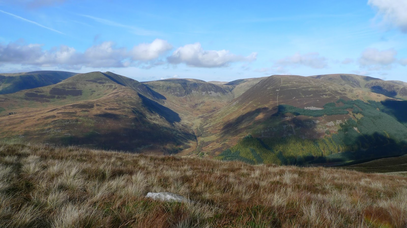
Looking North into Black Hope, Hart Fell being the high point.

Our route lay generally Northeast, the next hill being the Donald Bodesbeck Law.

A stiff climb up pretty pathless terrain and the summit arrived, this is the view North.

The broad ridge undulates (lots of them) Eastwards towards Mid Hill.

The next Donald is Bell Craig, from here White Comb is the hill above Loch Sween across Moffatdale.  

This is the summit of Andrewhinny Hill, the last "listed" hill of our trip. Another Donald, Marilyn, Graham.

Before we descended back to the Ettrick Water, we walked over to Mid Hill (another one) and its ancient cairn.

Mid Hill's Southeast ridge led us unerringly back to the valley and the car.
Fortunately it had a quad track for much of the way which made for quicker progress.
It had been a great trip, we only saw 1 person and his dog on the hill 30km of solitude, the Southern Uplands deserve a better press we thought.


Saturday, 22 October 2016

Stonethwaite, Borrowdale

We had a stroll from Stonethwaite in Borrowdale on Thursday. The sun shone for much of the day, the Autumn colours are just starting to develop. Here's a few pictures from the day.......

From the floor of Borrowdale looking towards High Spy

Castle Crag

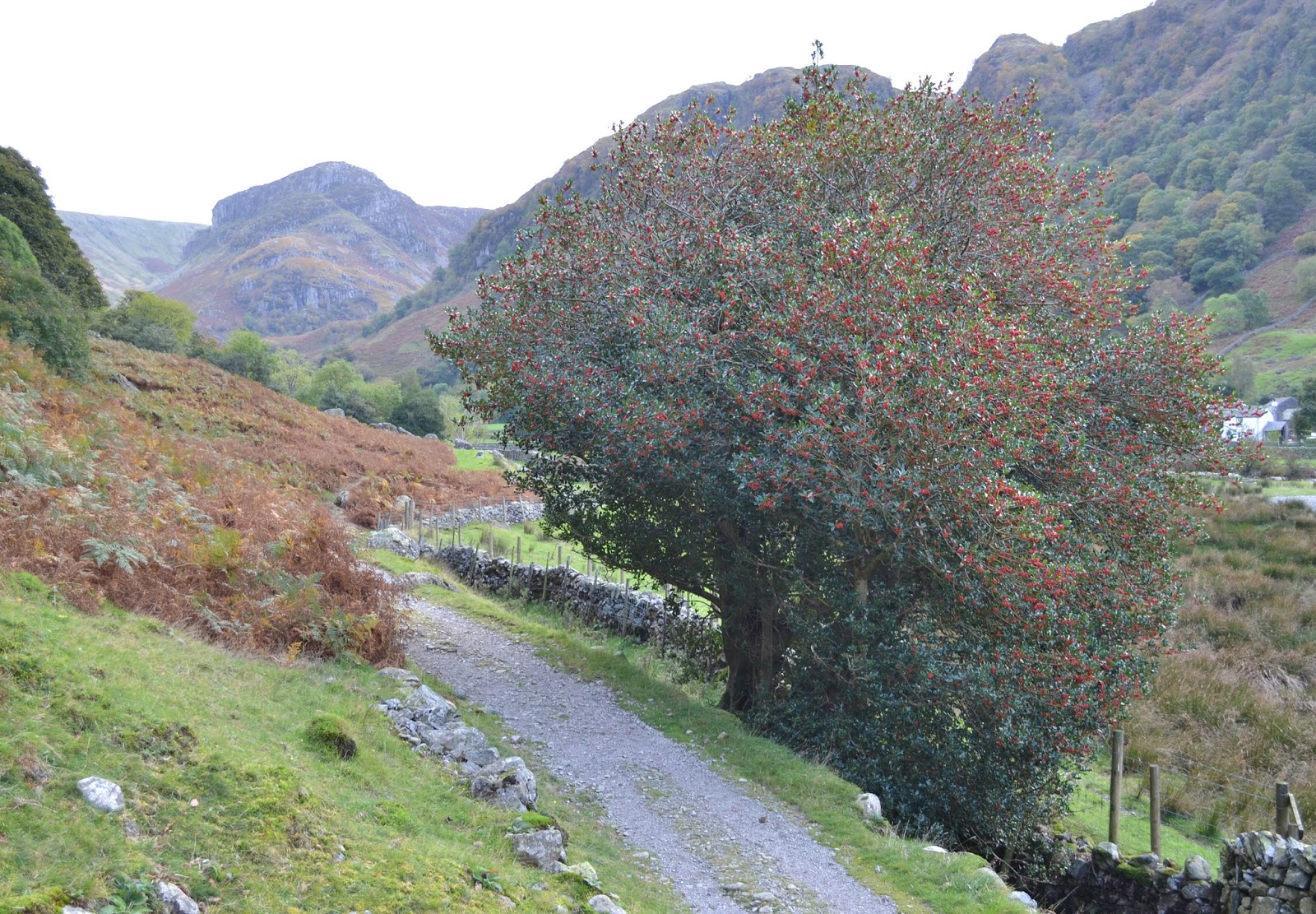
If this Holly is any guide...it's going to be a real hard Winter!

Looking back towards Castle Crag and Maiden Moor. Catbells in the distance

Thursday, 6 October 2016

Blowing The Cobwebs Away

Only a short walk along the coast at Bardsea near Ulverston. Out and back the same way, a real "big sky day". Good to be out in the fresh air, and a real chillout after lots of chasing myself inside out!


Sunday, 25 September 2016

Black Fell from Oxen Fell

It's been a while since I posted here. I've had a difficult couple of months, and although I haven't been posting I've been out on the bike and walking a bit.
Today I had a short solo walk up a favourite Wainwright....Black Fell. It was mainly dry just one or two heavy showers, the views as always from here were great.
Here's a couple of photos.....

Holme Fell, Wetherlam beyond

High Arnside Tarn, quiet as always

Sunlight on Lingmoor Fell from the summit of Black Fell

North from the summit of Black Fell, Fairfield in the centre distance.

Monday, 4 July 2016

A Couple of Affric Munros

After my efforts of the previous day on the edge of Knoydart, I'd in effect gained a day on my plans. Plan B was to walk/climb the Creag Meagaidh group....however the forecasts (yes I consulted several!) were speaking of thunder and of course lightening. So another plan was required....
Plan C? saw me driving round to Glen Affric from Invergarry, and parking adjacent to the Chisholm Bridge. It was raining as I left the car but very humid. I knew I'd spend the day cloud watching, keeping an eye and ears open for signs of any thunderstorms. On with the photos/walk


The old track round into the Fiadh glen has been "improved", there's a couple of hydro schemes going in. Although its at an early stage at the moment.

Beyond the new hydro track, the glen takes on a real wildness...and wetness. Its very wet underfoot! On a plus point the rain had stopped.

Once across the Allt Toll Easa, the path heads up through the heather gaining height quickly.

Its a really pleasant ridge along and up Creag na h-Inghinn. The view back along the glen opening up.... 

Whilst to the West the Carn Eighe group dominated the scene.

To the East was the my second Munro, Toll Creagach looked extremely exposed should lightening occur.

The summit of Tom a Choinnich, looking West, again to the Carn Eighe hills

From Tom a Choinnich,East to Toll Creagach. I didn't linger, crammed some more cereal bars in my hipbelt pockets and descended to Bealach Toll Easa.

There is a section of stalkers path as you start the descent, but it was covered by one of the laarge snowfields in the photo above. There was no difficulty in following the crest of the ridge though.

The path from the bealach to the summit of Toll Creagach is intermittent, easy ground does that! The hills North of Loch Mullardoch were impressive, good to see them in clear weather. It was cloudy and a bit wet when I backpacked over them in 2004. I can't believe its that long ago!

Again I didn't stop at the summit for long. A descent was basically a bee-line back to the Gleann nam Fiadh. I was surprised that I didn't come across a path, although the ground was fairly easy going...if rather wet.
A last look back up the glen before returning to the car the same way I walked earlier in the day.
So that was effectively the end of my week, I'd enjoyed it immensely, and hope anyone who's happened by has found something of interest here. Cheers!