This was a walk which had been on @ianwood2011 and my radar for quite a while. The weather window was Mon/Tues of this week, and after an easy drive up through the Eskdalemuir Forest we parked beside the Ettrick Water near Crook Cottage.
 |
| Last minute checks to make sure we haven't forgotten anything! |
 |
| Glad to leave the tarmac and start to gain some height on the South side of the valley. |
 |
| The fist summit of the day as we head Southwest...ish was Ettrick Pen, a Donald, Marilyn and Graham. |
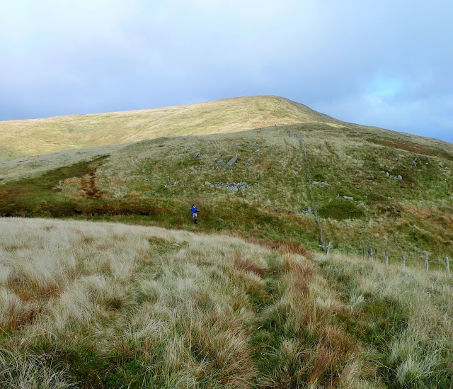 |
| It had been dull and overcast since we'd left the car, but as we descended Ettrick Pen the sun was trying to break through. |
 |
| Ian on the Donald Hopetoun Craig, with Ettrick Pen receding into the distance. |
 |
| Last summit of the day Wind Fell, not particularly windy...but very wet underfoot! |
 |
A knee punishing descent over pathless tussocks brought us to the col of Ettrick Head.
Take ggood notice you'll see a very similar scene later on! |
 |
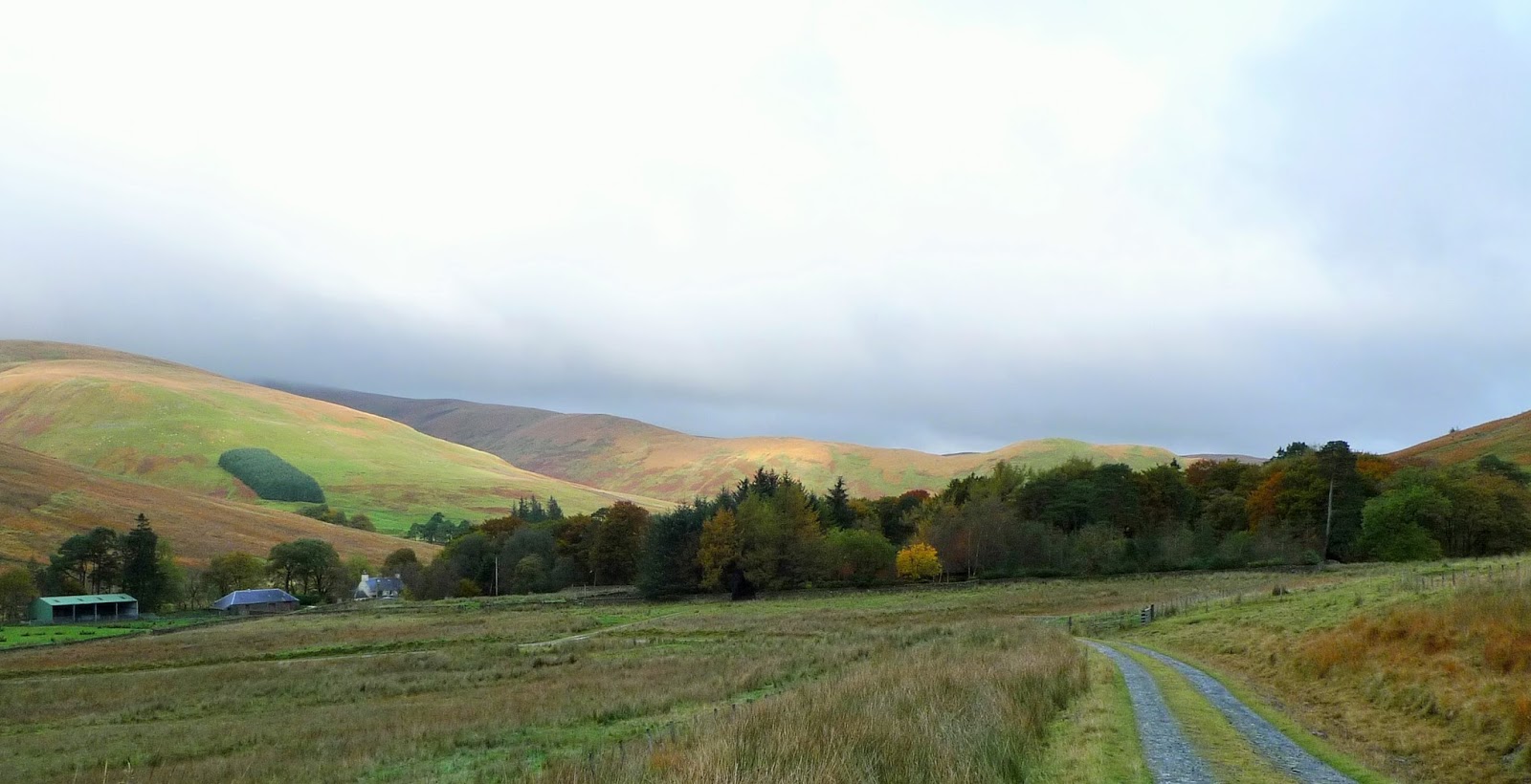
Following the Southern Upland Way down into the valley to Over Phawhope, an MBA Bothy.
In very good order....lets hope it stays that way. |
 |
| We were carrying tents but as the bothy was unoccupied (although a cyclist did turn up later) we decided to take advantage of the stove and stay inside. |
 |
| After a decent nights sleep we woke to dense mist/cloud. But it soon became clear that higher the sun would be shining. |
 |
| Sure enough the inversion tarted to appear as we headed back up to Ettrick Head. |
 |
| Back at Ettrick Head and time for the climb to Capel Fell. |
 |
| Ian looking back towards the Ettrick valley, still filled with mist. |
 |
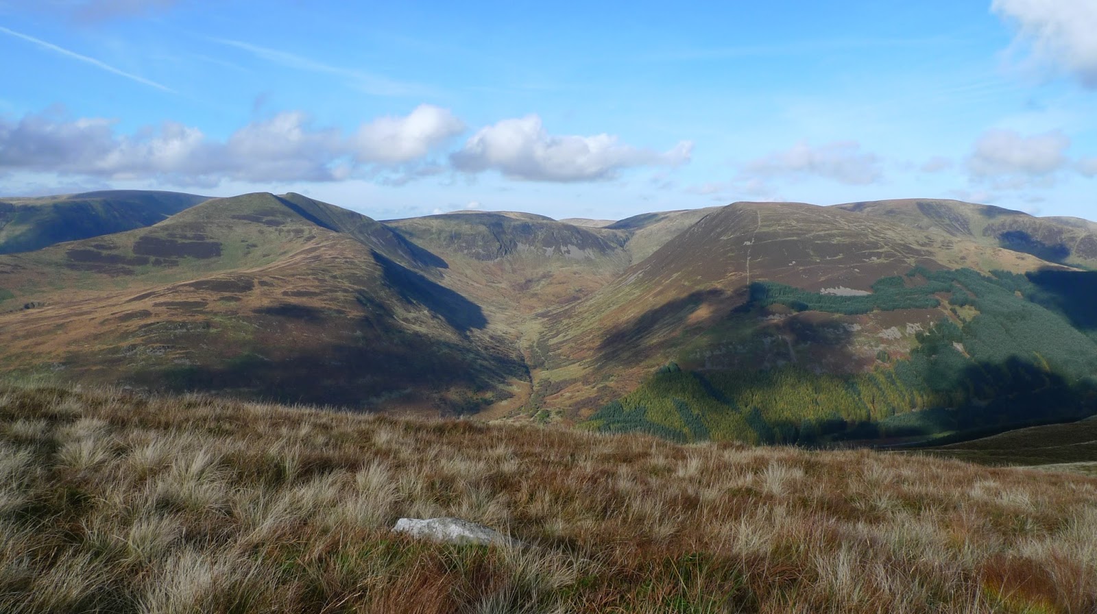
| From the summit of Capel Head the view to the North meant we could see the hills North of Moffatdale. |
 |
| Meanwhile West was Croft Head. |
 |
| Looking North into Black Hope, Hart Fell being the high point. |
 |
| Our route lay generally Northeast, the next hill being the Donald Bodesbeck Law. |
 |
| A stiff climb up pretty pathless terrain and the summit arrived, this is the view North. |
 |
| The broad ridge undulates (lots of them) Eastwards towards Mid Hill. |
 |
| The next Donald is Bell Craig, from here White Comb is the hill above Loch Sween across Moffatdale. |
 |
| This is the summit of Andrewhinny Hill, the last "listed" hill of our trip. Another Donald, Marilyn, Graham. |
 |
| Before we descended back to the Ettrick Water, we walked over to Mid Hill (another one) and its ancient cairn. |
 |
Mid Hill's Southeast ridge led us unerringly back to the valley and the car.
Fortunately it had a quad track for much of the way which made for quicker progress.
It had been a great trip, we only saw 1 person and his dog on the hill 30km of solitude, the Southern Uplands deserve a better press we thought. |


No comments:
Post a Comment