Thursday, 24 October 2013

Bimbling Round Nateby and Kirkby Stephen

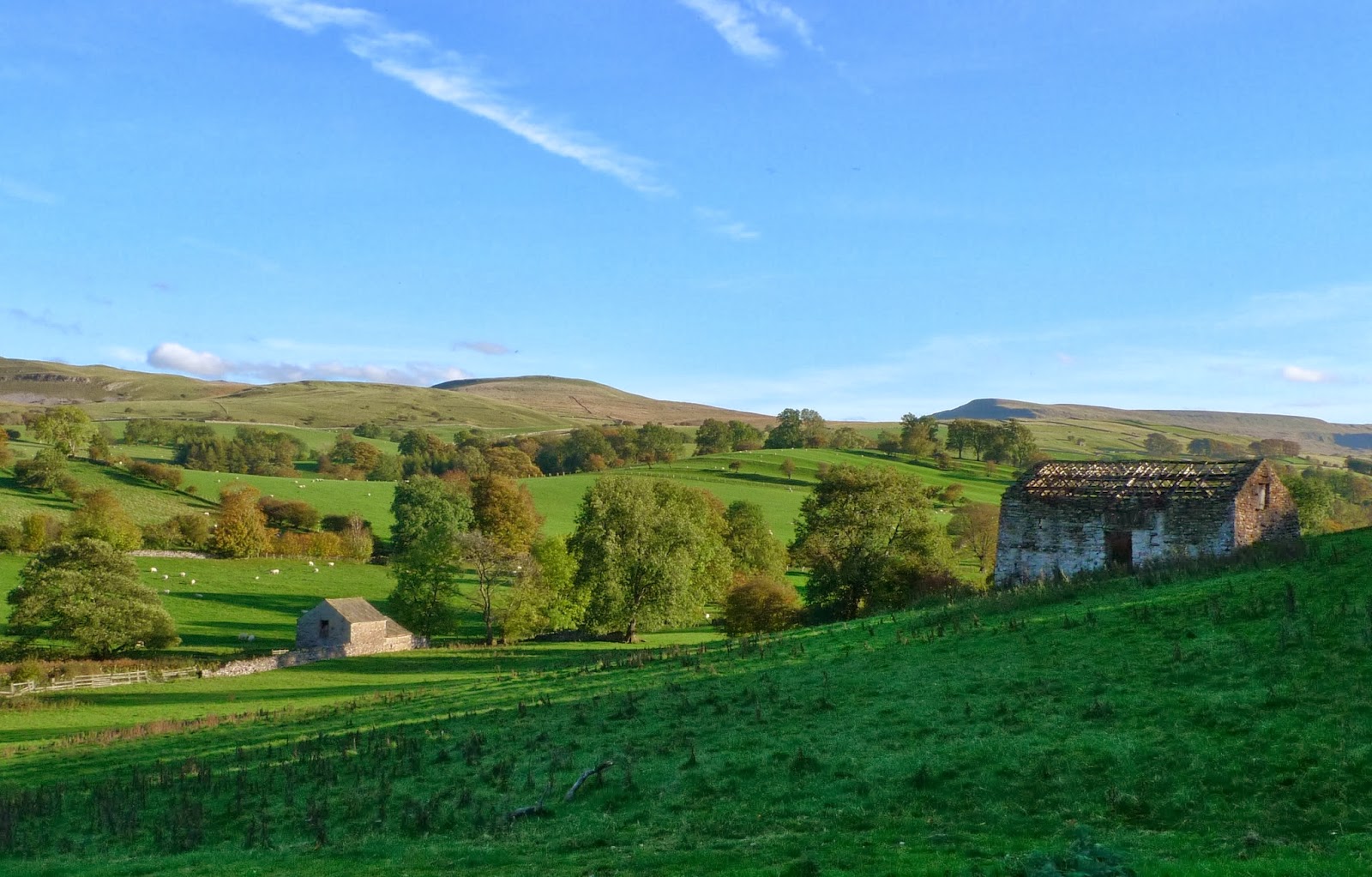
An easy day today...strolling beside the River Eden and walking through and between Nateby, Hartley and Kirkby Stephen. The autumn colours are starting to develop, maybe another week and they'll be at their best.

This is the River Eden, just upstream of Stenkrith Park. The river tumbles over unusual conglomerate rock hereabouts.

I don't think I've ever seen the trees and bushes so laden with berries and fruit. The migrant birds from the North are going to have a field day!

Not many of these old signs about now. The distances are particularly precise!!


As part of our route we walked along the old railway, this is the Podgill viaduct. The line when first built was single track, then as the traffic from the Northeast to Barrow-in-Furness increased it was made double track. This meant widening the Podgill and Merrygill viaducts. The difference between the original and new is quite clear.

On the Merrygill viaduct looking North to the high Pennines.

Great views all day, here back at the car looking East to Mallerstang Edge.

Thursday, 17 October 2013

High Street via Rough Crag

Todays wander started from the road end at Mardale, it was a late start. I knew I wanted to have enough daylight left to get a ride on the road bike when I got home, so I opted for the classic walk up Rough Crag to High Street and back to the car down Nan Beild pass. The weather, one of the best autumn days I can remember.....but then I am getting on a bit.

Once you gain the ridge almost the full length of Haweswater is revealed

The wall is you're companion as more of High Street comes into view rising beyond Rough Crag.

The small tarn on Caspel Gate, High Street reflected nicely in the still waters

Here we look back along the ridge with Riggindale down on the left as we look back. The Red Deer Stags were roaring from the slopes below Kidsty Pike (not seen in this pic!)

The summit plateau, no wonder they held horse races here! The Helvellyn  range is sseen to great advantage from here. 

Can't beat a nice bright jacket for the photies! I'm pretending to look for look for somewhere to have my (late) lunch.....actually I'd just eaten it!

No real efffort is required to bag Mardale Ill Bell, so why not. Harter Fell fills the background.

This splendid view of Small Water and the head of Mardale appears just before you reach Nan Beild.

After the descent of Nan Beild the path levels out and to the North the steep slopes of Rough Crag.
A great little walk.

Sunday, 6 October 2013

Coast Walk from Arnside

A dull day here in the South Lakes today, what I call a "Tupperware" day! At least it stayed dry. The Lakes hills were swathed in cloud, so I opted for a local walk on the coast.
A high tide today, I'd timed my stroll to coincide with high water. The estuary looks completely different under such conditions, shame the light was so dull.

It wasn't possible to walk on the shore path so I took the permissive path thro Grubbins Wood to New Barns Bay.

Last of the Rosehips, I was off to Far Arnside!

The cliff top path approaching Far Arnside, not at all typical of Morecambe Bay. From Far Arnside I walked back over Arnside Knott and back to the car on the promenade.

Sunday, 29 September 2013

On the BMW through the Dales to Yockenthwaite

I was having an easy day today, after 6 rides on the roadbike attacking Strava segments. The weather was superb, possibly the last warm sunny Sunday for the motorbike for this year.
Looks like I'm going to Barbon then!....and then Barbondale to Dentdale.

Now thats a proper sign, its got character, made of cast iron, not yer flimsy aluminium.
And its got the County of Westmorland at the top.
My birthplace!

The GS in Barbondale. 

Big skies over Malham Tarn, the trees are starting to change.

Wonderful Dales scenery as I drop into Littondale.

Wharfedale, near Yockenthwaite.

The River Wharfe very low as I follow it up towards Oughtershaw and over to Hawes.

Looking across Wensleydale from Gayle.

Having ridden down Garsdale, the Howgills are revealed in the late afternoon sun.

Thursday, 26 September 2013

Throwing My Hat in the Ring.....


I've long wanted to enter the TGO Challange, the stars and moons have alined for me next year, and the time has been OK'd at work. So here we are the entry form completed together with a cheque for £40 winging its way to North Yorkshire. Of course I might not be successful in the draw, I'll have to wait and see. Heres Hoping....

Monday, 23 September 2013

The Cheviots

With an improvement in the weather forecast at the end of last week, I drove over to Alwinton with a loose plan to bag the Cheviot Nuttalls and a few required Marilyns. I carried enough food and fuel for two nights, but in the end only camped for one night. I find these days that I cover the miles much quicker on my own than in company....(probably cos' I only have to concentrate on breathing and can forget talking!)  I considered titling this post "Following Fences in the Cheviots", for reasons that will become obvious! Anyway without further ado here are some phots of the trip......

Having phoned the police to tell them my car would be left unattended off I went.

Basically I followed the River Alwin, rather a nice walk whilst I was out in the open.

However all to soon I entered the conifer plantation of Kidland, alot of this is being felled and I was diverted a good couple of miles off my planned route.

At a replanted area a thin thread of a path led out of the forest towards Cushat Law.

A rare image of your author...silly old fool he should know better than to venture to such places on his own!!

The large summit cairn of Cushat Law. Quite where they found all the stones for this large and apparantly old cairn is anyones guess.

Looking back to Cushat Law from the upper slopes of Bloodybush Edge, the route just follows the fence.

The trig on Bloodybush Edge. Lots of fences here!

I dropped down to the Salter's Road, which I followed down into the upper Breamish valley. I was glad to find a good pitch for the tent. It was dark by the time I'd had something to eat, I was soon asleep.

Early morning, I'd slept ok, but was aware that habitation was closer than I'd have liked. So I got the tent down and was on my way by 8.15.

Pathless slopes led to the top of Sheilcough Edge, the rocky knoll of Coldlaw Cairn was the next target. Just follow the fence really!

Coldlaw Cairn came soon enough, Hedgehope Hill looked a long way off with Comb Fell to "climb" first.

Theres lots of this en route to Comb Fell.

This large fence post is as far as I can tell the "summit" of Comb Fell, It was boggy, and I knew I'd be coming back this way!

Hedgehope Hill, follow the fence! But whats the new stile all about...has someone been practicing?

Hedgehope Hill, the Farne Islands and Lindisfarne were visible off the coast to the east. My route would be back beside my friend the fence over Comb Fell (again) and round the head of the Harthope valley to The Cheviot.

Theres not a lot of foreground interest here-a bouts other than bog and fences so here's a gate! And the view down the Harthope valley as I start to climb up towards The Cheviot.

Ahhh flags...I must be on the Pennine Way!

Yep, I'm on the Pennine Way. Cheviot here I come!

The summit of The Cheviot...did the peat ever really reach the base of the trig?

Here the Pennine Way heads Northish to The Schil and Kirk Yetholm.
Of more importance is the "Fence",  now this isn't just any old fence this is "The Border Fence". Alex Salmond is going to have to spend a bit of money on this feeble attempt to keep us English out of Scotland!

Looking back towards The Cheviot. 


The weather was starting to deteriorate as I approached Windy Gayle, the cloud base dropping all the while.

The trig on Windy Gayle, the view had disappeared just as I arrived sadly.

The long walk out back to Alwinton started with a splendid grassy path down to Trows.

The farmstead of Trows...it looked almost deserted ,but not quite!
The rest of the walk was on tarmac down Upper Coquet Dale, this is no hardship really, its a very quiet road. I arrived back at the car for 6pm almost exactly what I thought as I left Windy Gayle at 2pm.
A great couple of days mopping up Marilyns and Nuttalls and a good introduction to the Cheviot hills.