Friday 30 August 2013

Skelwith Bridge to Elterwater and Back

Out with Bill today the first time for ages. With the cloudbase sat around 1000' we parked at Skelwith Bridge and set off for an easy day, plenty of time to catch up and have a good chat.
Only 50m or so away from the car is this grand old gatestoop...they don't make them like this anymore.

We walked up through Neaum Crag lodges, and dropped down to Loughrigg Tarn. It threw a light shower, as we used little used woodland paths to descend to Elterwater.
The Honeysuckle is outside the soon to be closed YHA in Elterwater

The cloudbase wasn't altering as you can see...although every now and then the sun managed to break through.
The head of Little Langdale, we're starting to loose a bit of the green!

Slaters Bridge, I wonder how many calenders it's featured on?

Just below Slaters Bridge these lilypads have been here as long as I can remember

Heading back via Stang End and The Cumbria Way through the woods. Folk have got to much brass by the look of this old fallen bough!

Looks like its going to be a good year for Nuts!

Skelwith Force, usually its thronged with people, but today there wasn't anyone. Only a few steps from here back to the car. It had been good to catch up with Bill, and hear what he's been up to over the last couple of months.

Monday 26 August 2013

A Bit More Pennine Way....and a Wildcamp that didn't happen!

The plan was to catch the train from Horton-in-Ribblesdale to Gargrave, and walk back to Horton on the Pennine Way. This I thought would make a pleasent couple of days, bearing in mind that I wouldn't start walking until 11.45 (this was the first train). So backpacking gear shouldered off I went.....

Leaving Gargrave the going is very rural....a good sign all the cows are on top of the hill (good weather sign in country lore) or perhaps their up there cos thats where the Bull is!

The trail then crosses Eshton Moor. Not really a moor in the normal sense.

I was soon at Airton, from here I'd walked all of the rest of the trip before.

Hanlith Hall set in well manicured parkland is the next significant landmark

The first glimpse of Malham Cove, I knew Malham would be busy but was still suprised by the throngs of people everywhere.

Must folk seemed to be at the cafes and pubs. Malham Cove looking magnificent as usual

Silly old fool got close to the edge for this shot...I should know better at my age.

The Ice Cream van was a welcome sight as I approached Malham Tarn. Vimto and Ice Cream eaten I continued round the tarn and through the groubds of the house.

This is the approach to Tennant Gill Farm, and the start of the climb of Fountains Fell.

I' d picked up water on the climb to Fountains Fell, this was my planned wildcamp spot. But arriving at 5 o'clock I was much earlier than expected. I had some thinking to do! I dumped most of the water and decided to carry on over          Pen-y- Ghent.

The boadwalk leading to the south ridge.

The trig on Pen-y-ghent looking back at Fountains Fell. There were quite a few folk about which surprised me, I was a bit disappointed that I'd dumped the water as there was a good pitch close to the summit!

The last of the evening light aa I walked down to Horton. It had been an excellent afternoon/evening walk, I couldn't understand how the 23ish miles had felt so easy.

Thursday 22 August 2013

Norber from Clapham

This is a favourite walk, (or variations on it!) Although it seems some little while since I've done it. No summits were conquered today, just lots of big sky views under the un-forecasted sun.

Looking up Clapdale to Ingleborough from Thwaite Lane

One of the lower deposited Norber boulders below Robin Procter Scar

One of the best examples of the Norber boulders, left by the glaciers to perch on their eroded limestone plinths. This is looking East to Moughton Scar.

Another boulder, probably split by forst over the years, the cultivated valley of Wharfe in the middle distance

Pen-y gent across the limestone pavements of Thwaite and Moughton. 

We then descended into Clapdale to make our return down Long Lane. Little Ingleborough, Ingleborough and  Simon Fell filling the view.

The shade of the trees was most welcome as we made the final descent into Clapham.
A splendid afternoons walk.

Sunday 18 August 2013

Roughstuff Fellowship ride to Crosby Garrett

Our ride started at Tebay, but "The Old School Tearoom" didn't open until 10.30! So we rode round to Orton via Gaisgill to "Silver Yard" tearoom and took our "pre-ride" brew there instead.

The first off road of the day was the bridleway leading out of the north end of Orton leading towards Scar Side, it was as you can see a bit wet! It had after all rained almost all the daylight hours yesterday.

There are still alot of Buttercups, (its been a good year for them you know!) These are to the West of Street Lane.

Its a stiff climb up onto Orton Scar, although this photo doesn't really show that.

Once over the high point of the bridleway, the track enters the Great Asby Scar nature reserve. Lots of ferns, flowers and limestone pavement through here, all really rather pleasent.

Here we are regrouping as we leave the nature reserve and enter  open farmland again.

Once back on the tarmac at Whygill Head minor lanes led to Crosby Garrett.

From Crosby Garrett we took the track over Crosby Garrett Fell, easy going except for the strong headwind. We then dropped down towards Newbiggin with an afternoon brew on our minds

So with the brewstop almost in sight....Ian got a puncture! Some of the party continued to the cafe in Newbiggin, Ian and I caught up once the tube had been changed, and the tube had been changed!! (Thats not a typo!)

Coffee drunk, and the group all together again we rode the old road back to Tebay via Rigg End, Kelleth and Gaisgill. There were grand views across the valley to the Howgill Fells.

Thursday 15 August 2013

Swindale Common

I parked today beside the minor road to Tailbert. The vague and rough track snaked away from the tarmac in the general direction of the mist covered Seat Robert, the first hill on todays agenda. The sign saying "abandon hope all ye who pass here" seemed to have disappeared!

About 2k done and Seat Robert is just appearing out of the mist, dry feet just a long forgotten memory!

The summit of Seat Robert, sadly no view, but a fair bit of "furniture", including an unusual OS station.

After  another 1.5k or so of very wet, untracked terrain the reward is the small cairn atop High Wether Howe. 

The mist and drizzle eased here to reveal  Mosedale and in the distance Mosedale Cottage.

As I looked back east the next top of Glede Howe looked relatively close, but a beeline would have been even wetter underfoot than the circuitous route I took.

Glede Howe, looking back at Seat Robert climbed earlier.

An old path led down into Swindale beside Gouthercrag Gill, then a well graded bridleway  provided the route back to the car.
My sanity had been doubted at times today but it was almost all new terrain, which is always good. I can't promise I'll be back in the near future though!

Sunday 11 August 2013

Overnight camp at Measand Beck

I was working again on Saturday, as usual! Well until 5 anyway!  However I'd got all my gear together for a quick get-a-way and managed to get parked at Burnbanks below the Haweswater dam just after 6pm. The forecast wasn't great, I knew roughly where I planned to camp, under a couple of miles away.

Now thats a proper sign, a sign with character.  More importantly a sign with promise.

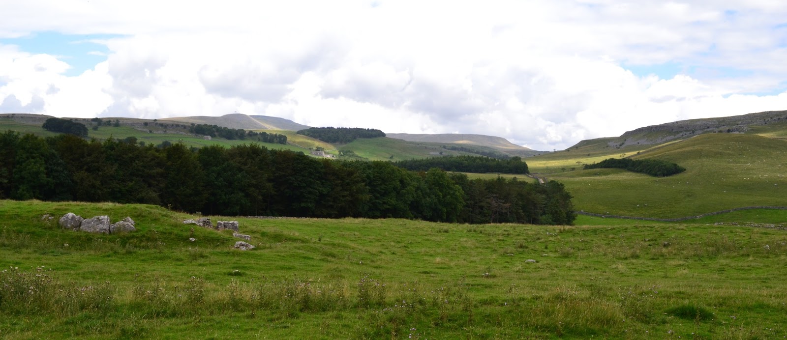
Climbing beside Measand Beck, which you can hear crashing down the falls, but from the path you see very little.

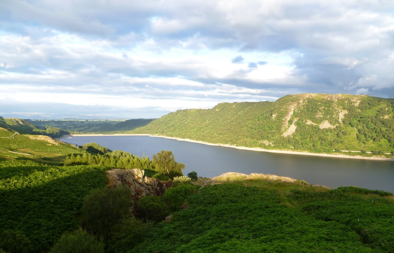
The path levels out as you enter the hanging valley of Fordingdale. The sun was casting long shadows, I retraced my steps to a good pitch on a grassy ledge overlooking Haweswater.

The spot I'd seen earlier, just catching the last of the sun. 

Tent up, and part of the reason for the trip, to try my new Fly Creek UL.

Room with a view, looking East over Haweswater to the distant Pennines.

Early morning light on the bridge below Measand End.

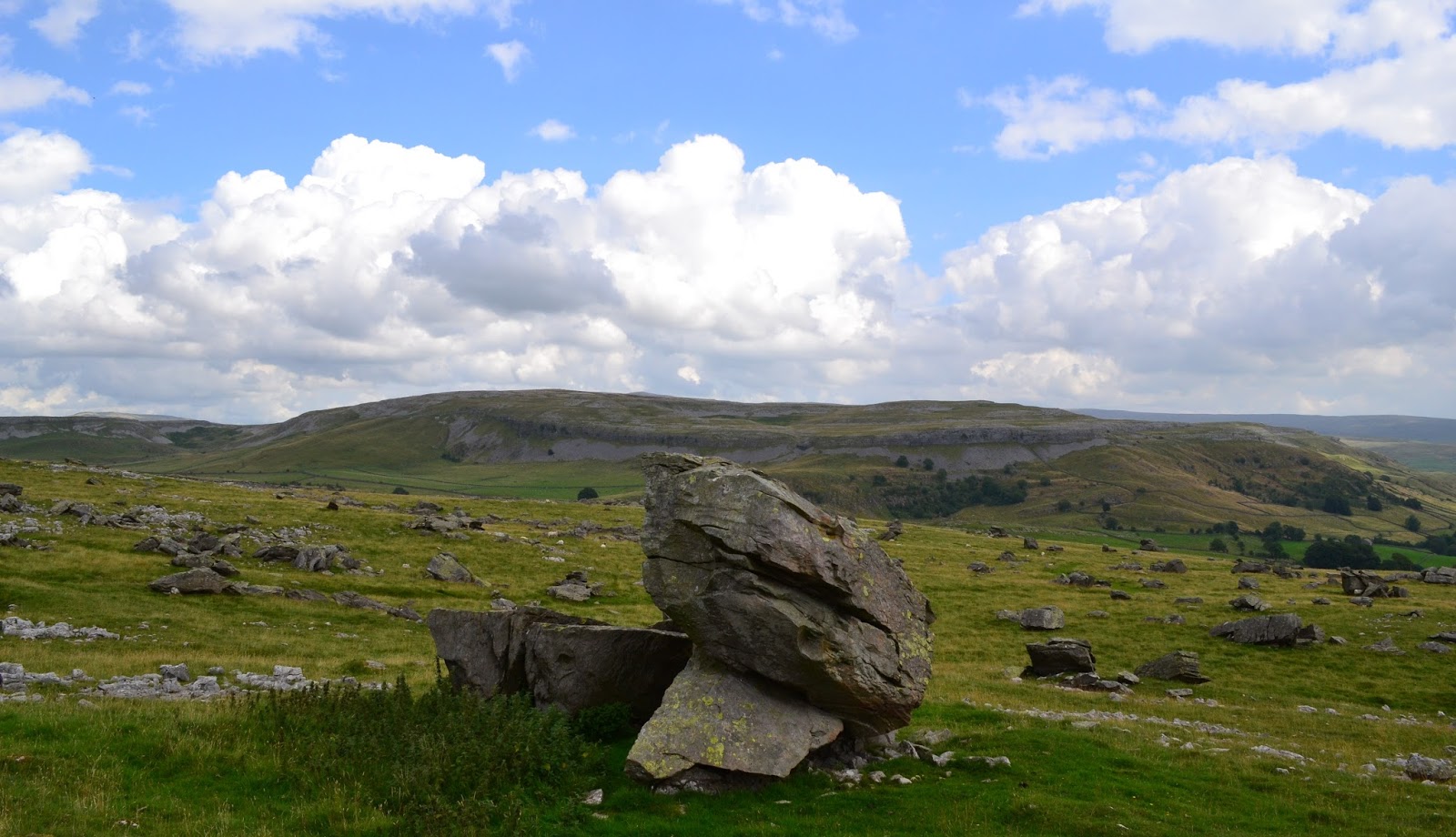
My plan for the morning was to bag a couple of neede Birketts. The head of Mardale revealed as height was gained.

The breeze was bring sharp showers with it.....rainbow weather!

Another shower as I got to the top of Four Stones Hill. It wasn't far from here back to the car, the bracken's pretty high hereabouts mind!