Showing posts with label Backpack. Show all posts

Saturday, 15 May 2021

Keswick to Windermere...A Walk with a Camp

 Earlier this week I caught the 555 Lakeslink bus from my home in Holme to Keswick. I had only a loose plan, to start walking South on the Cumbria Way and make the route up as I went along! The weather was pretty kind...better than the forecast. The route I eventually took made for a very pleasant linear walk. The 555 took me home from Windermere. I filmed the trip, the video can be seen here in a new window....its quite long....You may need refreshments😃

Here's a couple of images to wet your appetite!


Eagle Crag from near Stonethwaite


The Tramplite shelter pitched above Far Easedale


Wednesday, 30 December 2020

A Wintery Wildcamp on Wansfell


A phone call from Ian on Monday, he was expecting his new tent and wanting to try it out on an overnight camp...before the next round of Tiers/lockdown. Wansfell with its superb views was the choice. I asked if he minded me tagging along. So having met in Troutbeck yesterday, socially distanced of course off we went. It was a grand do, I should do more of this kind of thing. But to often the motivation is lacking. 
Here's a short? video of the trip...is 6½ minutes to long? Anyway it's a record for me really....

Should you wish to see the video "full screen" please click on this link

Tuesday, 4 August 2020

Whitbarrow.....and a Summit Camp on Calf Top

As the title suggests, a day of 2 halves. Old friend Tim was down from Scotland so we planned a walk, Whitbarrow was the choice. We met near Low Fell End and set off under sunny skies up the zig-zag path.

A short detour from the main path brings you to this viewpoint, Millside is below, Morecambe Bay beyond...Blackpool Tower was visible with the naked eye.

                        Looking North from the first highpoint. The Lakes Fells in the distance.

Having visited the summit (Lords Seat), we descended by Bell Rake into High Park Wood. then crossed the valley and took the bridleway onto Yewbarrow. This is a panoramic looking back at Whitbarrow Scar.

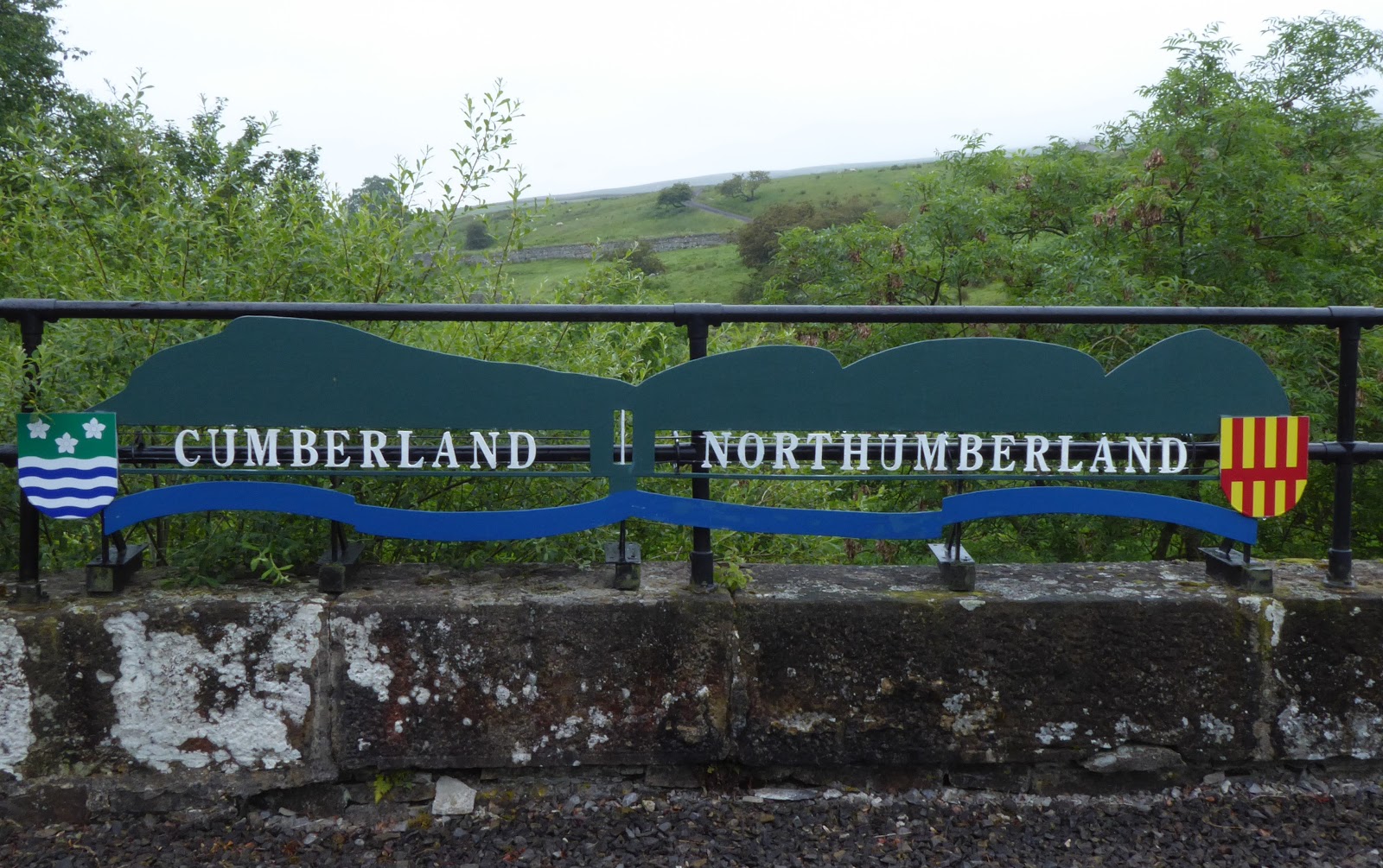
A number of overgrown paths were taken to bring us back to Beck Head. Here there is a craftsman, this is his latest creation.

The resurgence at Beck Head. Some more overgrown paths and we were back at the cars. 
A great day, always good to catch up with Tim in person rather than on the phone!

I'd only just returned home and received a text from @ianwood2011 saying he was going to camp at the summit of Calf Top. So a quick bit of packing and a short drive to Barbondale to meet at Short Gill.

It was a stiff climb from the valley bottom onto the ridge. We found some water and filtered it then walked along the ridge to the trig on Calf Top. 610m so just misses out on 2000' status. Ian was using a new shaped tarp and bivibag....I had the Tramplite shelter. We expected a sunset but the sun simply disappeared behind a bank of cloud. There was however a stiff breeze, which meant that conversation was carried out from within our respective shelters!
 
The wind dropped a bit overnight, and a shower passed through. No sunrise this morning, a quick descent reversing our route of yesterday evening back to the cars. Back home for my breakfast!
A short trip...and a better effort at pitching the Tramplite.

Wednesday, 17 July 2019

Silver How Wildcamp

A great spell of weather just recently here in the Lakes. As Wednesday is one of my days off work I planned an overnight camp. Parking in Grasmere I decided to head up onto Silver How. Heading round the back of Allan Bank, then up by Wray Gill.....


Seat Sandal, Greenhead Gill and in the distance Fairfield from the track round Allan Bank

Across Wray Gill (normally a reliable source of water but last night only a trickle) to the Eastern Fells...Fairfield et al.

Just over half an hour to the top, I was rewarded with the view to Grasmere (not in this image) and Rydal Water.


Time was getting on, and after a chat with a guy who was also planning to camp (in my preferred spot no less!) it was time to find a likely pitch. In the near distance was where I ended up.

A last look down at the two lakes before I went off to pitch up.

I found a good pitch, soon had the tent up and the sac unpacked. Windermere in the distance.

Not so much unpacked as scattered to the four winds!
Wetherlam in the distance.


Nothing really sunset wise, but the sky o the North was rather good.
I turned in, and had a decent nights sleep.


Dawn didn't bring much in the way of a sunrise, again looking North there was a bit of colour in the sky.

I got packed up and walked back over the summit.
Here looking east, the other temporary residents tent on Silver How.
Then it was back to the car, descended the same way I'd ascended he evening before.
 Enjoyed this short trip! :-)

Friday, 28 June 2019

A Northern Pennine Backpack

More precisely, 2 and a bit days along the Pennine Way and South Tyne Trail. This filled in some gaps for me in this area. I was dropped off in Dufton just before 11am on Tuesday, and found myself  amongst a number of the Summer Spine Race (Fusion I think it's called) details here.  Some images of the trip below......


The first objective Knock Fell, I don't think I've ever climbed up this way I always visited from the main ridge. The Eden Valley laid out before me....what this image doesn't convey is the terrific wind and the massing cloud from the East!

It wasn't long before I was in the cloud...and drizzle..this old cairn is Knock Old Man

And this rather newer effort is the summit of Knock Fell.

In my own mind I left my options open, but with the low cloud and drizzle I decided to follow the bridleway beside the Trout Beck towards the source of the South Tyne. This is the Trout Beck shortly before it joins the River Tees.

The source of the South Tyne...marked by 3 stones no less....hard to tell but it was chucking it down here and continued as far as Alston.

Hence there are no pictures until I'd got the tent pitched and sorted out. the price was good....although it seems a little eccentric. Mick and Gayle had stayed here on one of the long walks so I was fore warned!

The cloud was still low down when I set off so opted to walk the rest of the South Tyne Trail. It follows the old railway for almost all its length.

End of the road (track) for the current narrow gauge railway, and time for my second breakfast.

The South Tyne river from the impressive Lambley Viaduct.

There were many wild flowers along the trail, these Orchids caught my eye.

My last view of the South Tyne as I crossed over it and entered Haltwhistle. The day had improved dramatically it was really hot.... Ice Cream!!

I linked through to Hadrians Wall and the Pennine Way by waking up the "Burn Gorge" splendid. Worth an hour or two of anyones time....although I was on a mission. 

I reached the wall at Cawfields...no pictures from there a coach had just disgorged its contents...there were folk everywhere!
This is looking West from Caw Gap

I've walked this portion of the Wall a couple of times, I'd forgotten how much up and down tere was!...Lots!!

Milecastle 39 and Wall marches onward. The group of people spoiling my photograph were filming something...they had a big sword and lots of people sat about....probably curing the dishevelled wreck walking amongst them.

Time to leave the Wall behind here at Rapishaw Gap, off into the boonies.

Having crossed Ridley Common and just about to enter the first piece of forestry, there was a distinct lack of suitabe terrain to pitch a tent on. I decided to go to Haughtongreen Bothy. I figure that there is often suitable pitches near bothies....this wasn't the case here, but I had the bothy to myself anyway.

It's in excllwnt order and very well maintained, even has a composting toilet!

After an early night I was up early, 4.30 am to get some miles done before it got to hot. This was the view from the front door...mist in the dips and a heavy dew.

Spooky Trees!!

Wonderful dew laden spiders webs all along the path back to the Pennine Way.

Crossing Haughton Common as wet to sat the least. Quite clearly no where near as many people walk this section of the trail compared to the Southern sections. There was only about a dozen flagstones beyond the wall on the section I walked.

There was a "Pitstop"/Trail Angel at Horneystead, I had a long chat with them whilst having a mug of tea. But omitted to take any pictures.
the next feature of note is the escarpment above with the mildly amusing name of Shitlington Crags. 

Just beyond the crags as I passed the radio mast I met the first backpackers I'd seen. They thought I was daywalking...and couldn't believe I was carrying less than 5kg...one of them said he had 15kg on his back...and they were staying in B and B's!!
As I crested the hill I could see Bellingham, and here the North Tyne.
This made a good place to stop with good transport links, ready to resume the next section sometime in the future.
All in all a grand trip...although the soles of my feet felt like they were on fire in the end. My ancient Inov8 Terrocs had lost what little cushioning they ever had...they've gone in the bin!
Other than that all good.

Wednesday, 15 May 2019

Wansfell Wildcamp

The great spell of weather prompted me to ask @ianwood2011 if he wanted to come along on a trip up Wansfell earlier in the week. our last wildcamp on the top of Coniston Old Man had been almost 2 years ago...how time fly's.We agreed to meet on the top, having been at work during the day it was after 6.30pm when I left the car near Town End in Troutbeck.....

Troutbeck and the Ill Bell ridge looking great in the early evening light.

Windermere from Robin Lane

Reaching the summit of Wansfell about 8.00pm after my roundabut route, Ian was already in residence! He was using his new Durstan X-mid...which looked very good.

I chose a pitch a little to the East, with a view down almost the full length of Windermere. I was using my Six Moons Deschutes...I got a really taut pitch, although the ground was a little slopey.

The sun disappeared without much of a sunset...nice layers tho'

A little later there was a bit of a light show over the Fairfield Horseshoe.

There was very little cloud at sunrise, so there was no great lightshow either...this was as god as it got.

There was a few pockets of mist, this one over Blelham Tarn and its environs picked out with the telephoto lens.

The warm light starting to catch the slopes below the summit of Wansfell Pike.

Loughrigg and the fells round the Langdales.

With Ian due to start work in Grange-over-Sands at 9.00am, we left the summit and descended to and then down Nanny Lane (recently repaired it would seem).
A good trip we both felt, so no doubt there will be others in the future.