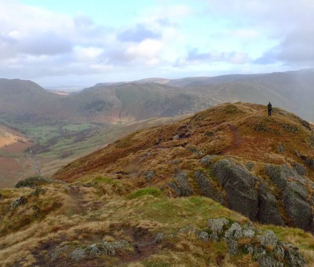
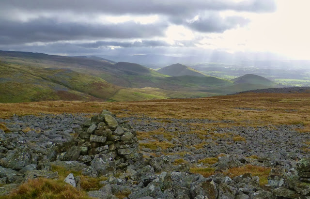
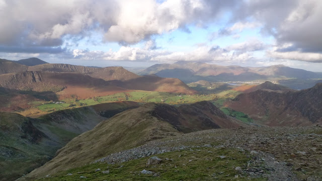
I won't bore to many folk I hope, but take this opportunity to thank all those who pass this way. Your kind comments are gratefully appreciated. Here's to 2014 and another year of outdoor adventures on two legs and two wheels.
Tuesday, 31 December 2013
Sunday, 29 December 2013
Deepdale Horseshoe
Out today in the Lakes with @ianwood2011 from Deepdale Bridge in Patterdale. This is a great circuit.
 |
| Climbing to the ridge as the early morning sunlight falls on the flanks of Gavel Pike and Birks. |
 |
| Gaining height the view behind was filled with Place Fell and Angletarn Pikes |
 |
| Once on the ridge proper we were hit by several sleet/hail showers. |
 |
| Looking back along the ridge from the summit of Hartsop Above How, Deepdale down on our left as we look from here |
 |
| The ridge continues to gain the trade route , Fairfield Horseshoe at Hart Crag. Here Windermere was lit up and shone like a mirror. |
 |
| Once on Fairfield, Cofa Pike and St Sunday Crag grabbed our attention. The summit was heavily verglassed and the descent to Cofa Pike was tricky to say the least. |
 |
| Once at the foot of Cofa Pike we had lunch, distracted by the view above! |
 |
| Lunch eaten it was on to St Sunday Crag the uphill was welcome to warm us up! The view in back to Fairfield, Cofa Pike and Grisedale Tarn was excellent. |
 |
| The summit Of St Sunday Crag soon came as we chatted on the easy slopes. The final couple of hundred metres again very icy. Above we see the Helvellyn range from Dollywagon Pike to Raise. |
 |
| Our descent route was over Gavel Pike and Lords Seat, here Ian looks down to Deepdale and on to BridgeEnd |
 |
| Northeast from Lords Seat looking over Birks to Ullswater and Place Fell. |
Labels:
Day walk
Thursday, 26 December 2013
Boxing Day Stroll
Labels:
Misc
Tuesday, 24 December 2013
Christmas Greetings
 |
| Here's to a great winter's walking....not much sign of it yet here in the Lakes tho! Merry Christmas Everyone!! |
Labels:
Misc
Thursday, 5 December 2013
Stormy Ride to the Coast
A late start after a couple of hours at work, mind it was just as well the South Lakes was taking a battering from the wind and rain since the early hours. Things started to look a bit better by 11ish, and I knew the expected high tide would be about noon, so off I wobbled to Arnside and the coast. I rode through sheltered lanes, but even so progress was very difficult. Arnside was taking a real battering the waves were over the stone jetty, salt spray heavy in the air....my camera stayed tucked away. I then rode North towards St Johns Cross and Sandside.
 |
| Here at St Johns Cross the sea was well across the road, and so started the first of many detours. |
 |
| Here at Storth the Arnside to Milnthorpe road was I guess approx 4ft underwater. Even the detour from here to Milnthorpe along the old quarry road was impassable. |
 |
| The Kent estuary looking very full! Whitbarrow Scar and the Lakes hills beyond. |
Sunday, 1 December 2013
Torver to Coniston (and Back!)
Recently there has been a fair bit of publicity locally about the construction of a footpath/cyclepath on the bed of the old railway from Torver to Coniston. Today we parked at Torver to put the claims to the test... sadly I feel a great opportunity has been missed! After only half a mile the railway bed is left, the path basically following the road as a glorified pavement, a great shame. Anyway it certainly didn't spoil our wander.
 |
| All good so far a well constructed slate chipped path heading towards Coniston. |
 |
| After out walk beside the road we get back on the line of the old railway. Sadly here we look back along the section of railway bed which for some reason the public can't walk. Why?? |
 |
| Looking South down Coniston Waterfrom the jetty near the "Bluebird" cafe. (Very good Hot Chocolate!) |
 |
| Our return route was back through Coniston Old Hall and along the Cumbria Way. |
 |
| Eventually we had to leave the lake behind, and as the light faded we walked back to the car past Hoathwaite Farm. |
Labels:
Day walk
Sunday, 10 November 2013
Langcliffe to Stainforth (and Back!)
Todays stroll was conducted under almost cloud free skies. We left Langcliffe and walked down to cross the River Ribble and head North on its West bank before crossing Stainforth Bridge. Our return was through the old quarry and Hoffmann limekiln, a must visit for anyone who appreciates industrial archaeology.
 |
| Looking North from the footbridge over the Ribble, below Langcliffe. |
 |
| Quite alot of water in the Ribble this morning |
 |
| Stainforth Bridge from Stainforth Force. |
 |
| Inside the Hoffmann limekiln, and this is less than half of it! |
 |
| The quarry which supplied the limestone for the kiln, now being reclaimed by nature. |
 |
| The beech trees today in the wonderful light gave the appearance of being on fire! |
Labels:
Day walk
Thursday, 7 November 2013
Lowther
We had in mind a walk elsewhere today, but as we drove over Shap the weather deteriorated rapidly. Somewhere relatively sheltered was the requirement. Having parked in Hackthorpe we set off on a circuit of Lowther Park using bridleways, footpaths and permissive paths. There was quite alot of rain, and a few sunny spells, umbrellas were deployed! You've got to make the most of precious time off!
 |
| The hamlet of Whale, the rain stopped long enough for us to have a quick buttie, and the sun highlighted this little Beech tree. |
 |
| The manicured parkland contains some wonderful trees, many still changing colour. |
 |
| The path starts to climb as it leaves the River Lowther and enters a plantation to eventually arrive at Lowther Castle. |
 |
| The castle has laid empty since 1937, renovation only starting in 2012. Here in the courtyard with the old coachhouses and stables we had Hot Chocolate in the rather splendid cafe. |
Labels:
Day walk
Sunday, 3 November 2013
A Night at Gregs Hut
This has been a long time on the to do list...So yesterday evening with @ianwood2011 we parked at Kirkland under the dark slopes of Cross Fell. It was tipping it down as we set off up the bridleway which contours round the North side of Cross Fell. There aren't any Photo's of the walk up...my camera stayed in the dry!
 |
| We arrived at Gregs Hut just before it got properly dark. (Sorry about the grainy pic, it's a miracle it took one at all!) |
 |
| Ian keeping an eye on the stove, the MBA (no doubt Dick Phillips in particular) have improved Gregs Hut immeasurably since I first visited this shelter over 30 years ago. |
 |
| The weather was considerably better this morning, the view to the East lit up by the early morning sun. |
 |
| Here just entering the low cloud which was sat stubbornly on Cross Fell. We made a beeline for the summit. |
 |
| It wasn't long before we were in the shelter on the summit of Cross Fell. A compass bearing roughly Southeast, led us off in the direction of Litttle Dun Fell. |
 |
| Turning Southwest at the col on the indistinct bridleway we soon dropped below the cloud. The upper Eden valley enjoying a sunny morning. |
 |
| The bridleway becomes more obvious the further you walk along it, as we looked out to the West to the Lakes hills Blencathra had recieved a scattering of snow or hail overnight. |
 |
| Here we are just about to drop off Wild Boar Edge to descend to the Eden valley. |
 |
| In the centre of the picture are the "Hanging Walls of Mark Anthony".....not worthy of a visit on there own in my humble opinion! |
 |
| Back almost at the car, in the lane which we had walked up 24hrs before in rather different conditions. |
Friday, 1 November 2013
Dale Head and Hindscarth
Out with @ianwood2011 today for a walk from Littletown in the Newlands valley today. The route changed several times as we walked! A great day! I'll let the pictures do the talking....
 |
| Leaving Littletown, Scope End, with Robinson in the background. |
 |
| Following Newlands Beck, looking West to the bizarrely named Squat Crags |
 |
| Back towards Littletown |
 |
| A last minute change to our plan saw us crossing the boulder field below Great Gable (the large crag under Dale Head) not the Hill! |
 |
| Ian on the summit of Dale Head....just a bit windy here! |
 |
| As we descended from Dale Head, Buttermere comes into view with the High Stile hills beyond. |
 |
| Looking back to Dale Head from the col |
 |
| After a snack in the large wind shelter at the lower Northern top of Hindscarth we started the descent. |
 |
| The path weaves its way through the heather along the ridge to Scope End before a final steep descent to Low Snab and then to Littletown |
 |
| We arrived back at the car just as the last of the light disappeared, the sun setting beyond Robinson. |
Labels:
Day walk
Subscribe to:
Comments (Atom)


